OS Pembrokeshire Coast Explorer Map (PNG)
English | Size: 1.06 GB
Category: Tutorial
Ordnance Survey Pembrokeshire Coast Explorer 1:25000 Map. Full resolution, no compression, PNG.
OS Pembrokeshire Coast Explorer Map (PNG)
English | Size: 1.06 GB
Category: Tutorial

Dayonetraders – Scalping Master Course
English | Size: 4.64 GB
Category: Tutorial

[FreeCoursesOnline.Me] Linkedin – Fusion 360 CNC Topographic Site Models
English | Size: 890.46 MB
Category: 3D
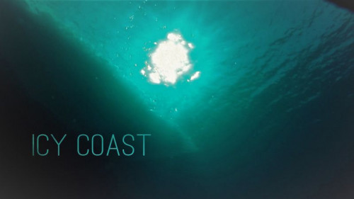
Doclights – Icy Coast (2020)
English | Size: 1.99 GB
Category: Documentary
OS Snowdonia Landranger Map (PNG)
English | Size: 450.12 MB
Category: Tutorial